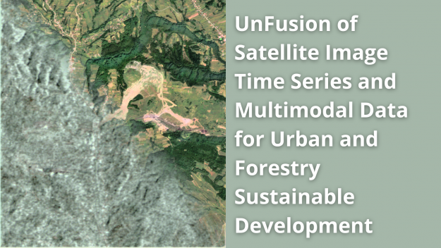
EELISA Workshop: UnFusion of Satellite Image Time Series and Multimodal Data for Urban and Forestry Sustainable Development
Satellite Image Time Series (SITS) contain valuable information on the Earth’s surface evolution over time. Various applications can be derived from SITS analysis, e.g. land cover and land use change, urban growth, surveillance, resource management and so on. Considering the technological development of Earth Observation sensors, and the increase in data variability and volume, the…

