
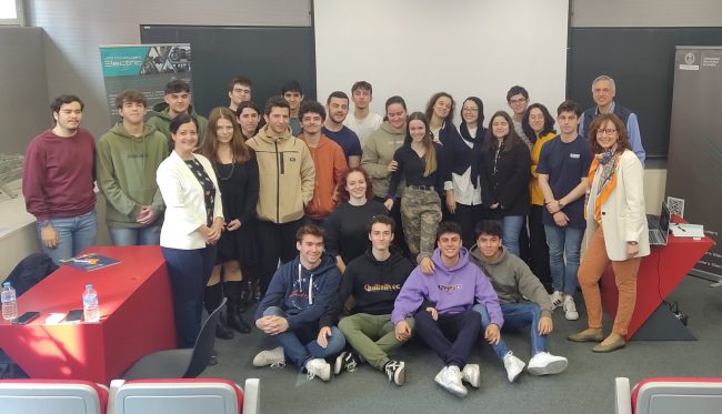
Enriching the academic experience with sustainability competences: an insight into the EELISA Community “SusCo”

EELISA Communities are at their best going through an increase of collaborations and joint activities towards their missions. But how is this exchange happening and impacting their members? Prof. Irene Martín Rubio, from the Department of Organizational Engineering, Business Administration and Statistics of the UPM School of Engineering and Industrial Design: Escuela Técnica Superior de…
Knowledge Bites #15 : How to integrate an Open Science service or data-source into the EOSC portal?

 European Open Science Cloud (EOSC) offers researchers, innovators, companies and the general public a federated and open multi-disciplinary environment. Using the e-infrastructure of this environment, users can publish, search and reuse data-sets, various tools and services for research, innovation and education. Data and related services in EOSC are established on FAIR principles. In this presentation,…

Design Thinking as a tool to help the elderly. An experience narrated by Òscar O. Santos-Sopena

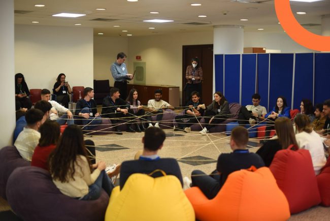
Building a bridge between technology and our elders was the main challenge that was set to be achieved at the EELISA seminar “Design Thinking: Technology for elderly people” organized by Universidad Politécnica de Madrid (Spain), İstanbul Teknik Üniversitesi (Turkey) and Universitatea Politehnica din București (Romania), last 16th and 17th March, 2023. Celebrated in Bucharest, this…

The second EELISA Joint Call is here!

Are you part of the EELISA Communities ecosystem and have ideas that would promote and sustain innovative learning practices, boost the recognition of challenge-based learning experiences, or increase transnational mobility and cross-sectional exchange? Then, this is your chance to turn your ideas into reality! This second call brings the first EELISA Joint call to the…

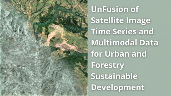
EELISA Workshop: UnFusion of Satellite Image Time Series and Multimodal Data for Urban and Forestry Sustainable Development

Satellite Image Time Series (SITS) contain valuable information on the Earth’s surface evolution over time. Various applications can be derived from SITS analysis, e.g. land cover and land use change, urban growth, surveillance, resource management and so on. Considering the technological development of Earth Observation sensors, and the increase in data variability and volume, the…